文字:李茹(May),DOUADI AbdelAlim
摄影:陈必武(Harry Chen),KARIM MD FAZLUL
摄像:Prosper Washaya
English Geoscience Café成立了,请速来围观
本网讯(通讯员李茹)3月10日,English Geoscience Café启动,实验室研究生的学术品牌Geoscience Café,有了自己的国际化学术交流平台。
“如果你想要和大家一起分享你的想法和经验,扩展你的眼界,提升你的英语能力,或者仅仅想要结识更多有趣的朋友,English Geoscience Café是你不容错过的地方。”留学生Alim主持活动,道出了成立该平台的初衷。
实验室主任陈锐志讲话。他说,随着测绘遥感信息工程国家重点实验室的国际化进程加快,在2017年1月20日的会议上,杨旭书记提出,构建一个国际版的geoscience café,以期将所有实验室的学生,不管是中国学生还是国外的学生,都容纳进来。事实上,LIESMARS作为一个国际知名的实验室,希望吸引更多的国际学子来此学习和交流,这也是创建一个以英语交流的English Geoscience Café的必要性所在。
“你们是实验室发展的动力所在,正是你们的融入与参与,推动了平台的发展壮大。”陈锐志希望,“实验室的每一个学子都尽可能多地参与到实验室的课外学术交流活动之中,在遇到任何研究和生活上的困难时,愿意随时找我交流。”
黄先锋教授带来首场活动,作关于雷达激光扫描和摄影测量应用的精彩报告,并在报告结束后与来自世界各地的观众热烈互动。现场互动的问答数量高达20余个,场面很是火爆。
据悉,English Geoscience Café后续新闻报道等也将以英文方式进行。
(中文编辑:肖珊)
>>Alim host the activity:
Good afternoon and welcome everybody, this is the English version of the already-existent Geoscience Café that happened to be really popular among Wuhan University information engineering students. This is why LIESMARS decided to make an English version, of which today’s presentation would be the first edition. This weekly activity is meant to gather WHU international students from all horizons in order to give them the opportunity to appreciate casually intellectual activities in a leisure atmosphere. So if you want to improve share ideas and experience, broaden your scope of knowledge, to improve your foreign language skills, to meet interesting people or even to have fun, LIESMARS English Geoscience café is the place to be. We are really honored today to count among us the distinguished Dr. Tsehaie Woldai from the Netherlands, the secretary general of LIESMARS comity Yang Xu, Dr Pro Huang Xianfeng, who is going to give us the talk today, and Pro. Chen, the director of LIESMARS, who I will kindly invite to give us his welcoming speech.
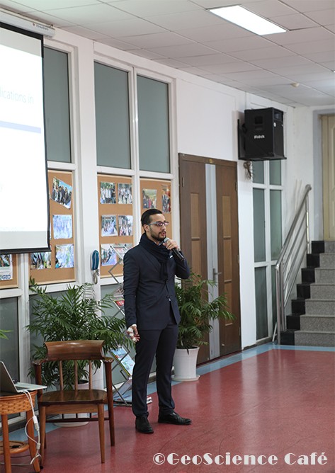
Fig.1 Alim hosting the first edition of the English Geoscience Café
>>The opening speech from Director Chen Ruizhi of LIESMARS:
As our lab is becoming more and more international, we started thinking about making an English version of geoscience café last year, in order to involve all the students from LIESMARS, no matter of their origin Chinese students or foreign students. In fact, LIESMARS counts now an international school and hopes to attract more overseas students and this is why it became necessary to create such an English-speaking platform. It is a great honor for me to be here because you are the motion power of IESMARS, and it is your engagement and participation that dictates the success of this activity. And I hope that every one of you will get involved into our lab extra-scholar activities as much as possible. I would sum up my speech by inviting you to contact me if you have any problem or request about your study or life on campus. And wish we will enjoy today’s presentation!
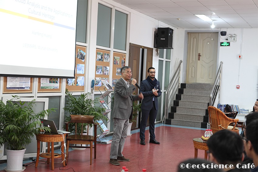
Fig.2 Pro. Chen Ruizhi making his welcome speech
>>About the speaker:
HUANG Xianfeng,Dr. Prof., in LIESMARS Wuhan University. His research interests include laser scanning, 3d point cloud processing, and high quality 3d modeling. In 2011-2013, he worked in Microsoft Research Asia and Singapore ETH Center. His work was applied in world heritage protection and public security applications.
>>The talk time:
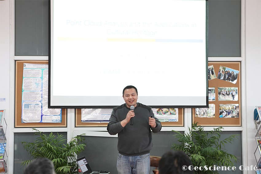
Fig 3. Pro. Huang Xianfeng giving the Presentation
Cultural Heritage conservation
Over the past few centuries, natural calamities, weathering, wars & human negligence endangered many heritage buildings. Cultural heritage’s importance is well recognized and there is an increasing pressure to document these sites as a way of preserving them. One of the most important faithfully representative documentation methods consist of 3D modeling, but whichever method is used, the goal is results as accurate as possible.
In the first of his speech, Pro Huang Xianfeng presented a project led by his team that aims to provide a reliable documentation of Dunhuang Mogao Grottoes located in west China, Gobi Dessert.
Using cutting-edge sensing, surveying, processing and computing technologies, we provide a high-quality and precise culture-heritage document that can be used for digital archeology, protection and education.
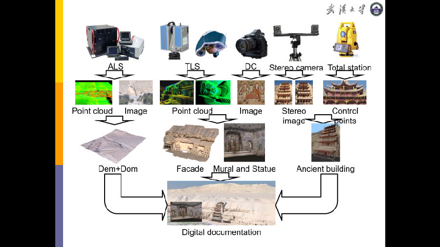
Fig 4. Workflow process for Dunhuang Documentation Project
Moreover, during this project, we have made significant breakthrough regarding Laser scanning, hardware optimization. In fact, we have noticed during the data collection, some anomalies with the generated intensity values. The Intensity distribution was abnormal so that the near regions appear darker than the further ones without any explanation. We made many experiments about this phenomenon and our research allowed us to be the first team in the world to give the scientific explanation to resolve this problem.
Security and anti-terrorist missions
During his presentation, Pro. Huang also highlighted the importance of using 3D modeling related technologies from security perspective. As a matter of fact, there are too few or even none proper representations of the operations terrain that are able to support security forces to maintain and enforce the public order. This is why my team have been asked to provide such solutions that goes from high-quality 3D models of Xinjiang province mountainous regions to simulate terrorist hunting operations to more sophisticated urban public surveillance systems.
From teacher to Businessman
Pro. Huang also expressed his high privilege of being part of Wuhan University academic staff, without which, he would not probably stay in Wuhan. He argued that thanks to WHU, particularly LIESMARS, he could start his company called Daspatial. Far from being motivated by the financial aspect, he dreams about applying effectively the results of his team’s research in the geospatial industry. After that, he introduced briefly some of the most important achievements of his company that was able to provide in a short time both hardware equipment like drones and stereoscopic cameras and software solutions like model painter and city painter for 3D modeling.
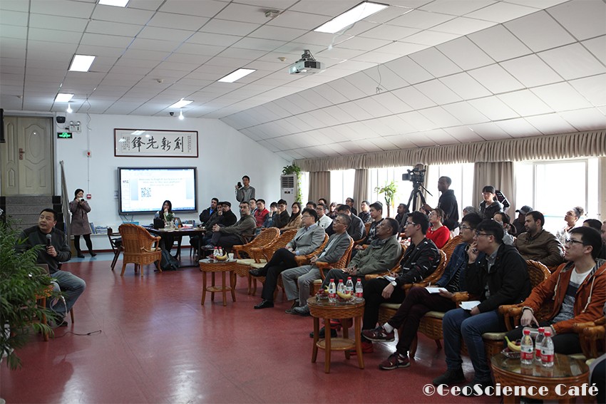
Fig 5. The audience being captivated by the topic
>>Questions and answers:
Audience A:You said that you could not choose between research life and business life in your activities, but we know that you are one of China’s top experts in laser scanning, LIDAR, and 3D point cloud processing, but you are also doing a lot of photogrammetry studies, so did you finally chose between laser scanning and photogrammetry, or you have to manage between them using both of them?
Answer: I think laser scanning and photogrammetry are two different technologies. At the beginning, the photogrammetry had a lot of problems, for the features matching process. In the recent years, photogrammetry developed very fast. And the bundle adjustment problem is solved, and now can be done by parallel computing, and even can be put into the cloud computing. So photogrammetry is becoming more and more powerful. I think one reason is that we do not need to give energy to photogrammetry, but we need to provide a lot of energy for LIDAR scanning. So that means the optical sensors can be more and more powerful and convenient, while getting smaller and smaller. This makes them more adapted to fast response UAV systems when compared to the heavy bulky and expensive laser scanning payload. So I think photogrammetry is the future. Actually, I never stick to one technique, because there is no technology that does everything. I just follow the most powerful method to solve the problem, which is my first goal. It depends on what kind of applications. For instance, in this kind of police traffic applications, I would like to use laser scanner, and combine it with photogrammetry to take advantage of the strength of each and consequently provide a result as accurate as possible.
Audience B: Why don’t you use GNSS technics to enhance the quality and precision of your model?
Answer: Actually using GPS, for the position of cameras wouldn’t be so precise. Since our system employs rotating cameras, having the precise position of the camera would not be so useful. Because we already know the position of the UAV platform.
Audience C: Thank you for your nice presentation. I have two questions. My first question is about your project in Dunhuang. You said that you had to face the noise issue with point cloud generation. So how did you do to get rid of these noise? Secondly, if we take as an example your project in Xinjiang Province, I am concerned about whether yes or not we can update the 3D model in case of need to ensure the quick response necessary for public security activities or missions?
Answer:Ok. For the first question, we made a lot of research about how to denoise data. But in this project, we did not really apply this experience. We just wait for the best condition to collect data. The only remaining noise actually comes from trees. Since it constitute a small part, it is faster to remove them manually.
For the Xinjiang Project, the terrorists are moving and do not stay at one place. So these data are the basic data for the police to make plans. Actually, this is the decision making support tool that still can be updated
I think it is possible to use, for example, the UAV to supervise the situation of the site and prevent terrorists attack, and simultaneously send the information to the police in real time. You know now we have the computing ability to process about 100 to 200 images in about 5 to 8 mins, which is very quick and this processing does not require any more than a laptop or an ipad.
AudienceD:We have seen from your presentation that both laser scanning and photogrammetric techniques respond well to the task of representing static still scenarios, however, how can we do the 3D modeling when you have to deal with moving objects, especially in the dynamic urban environment like moving cars or pedestrians and so on?
Answer: Actually this is a very good question. And I have already assigned one of my students present here, Alim, to do this task.Our argument is that: the relevance of those 3d city models remains subject to a pre-processing procedure consisting of first detecting the aforesaid problematic objects, which are moving cars in the present situation. Then we remove it and smooth by filling in its position hole with an empty street image in a visually plausible way. This action that can be considered as a separate process preceding the aero triangulation or the 3d extrusion, aims to eliminate the lag inconvenience caused by the motion of objects in the representation of cities while remaining faithful to the realism commitment. In practice, the research statement considered in here consists of two major questions of image understanding and computer vision that are: object detection and object removal as applied to 3D modeling.
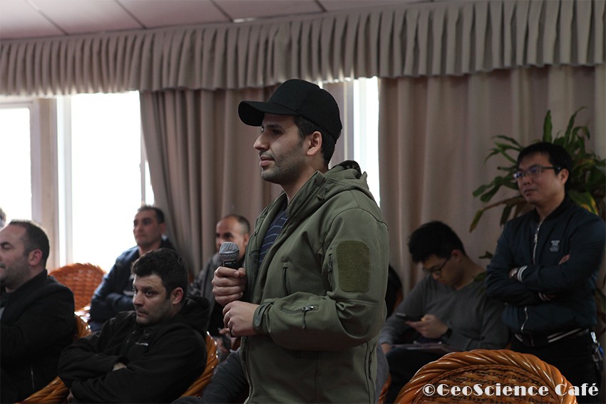
Fig 6. Questions and answers
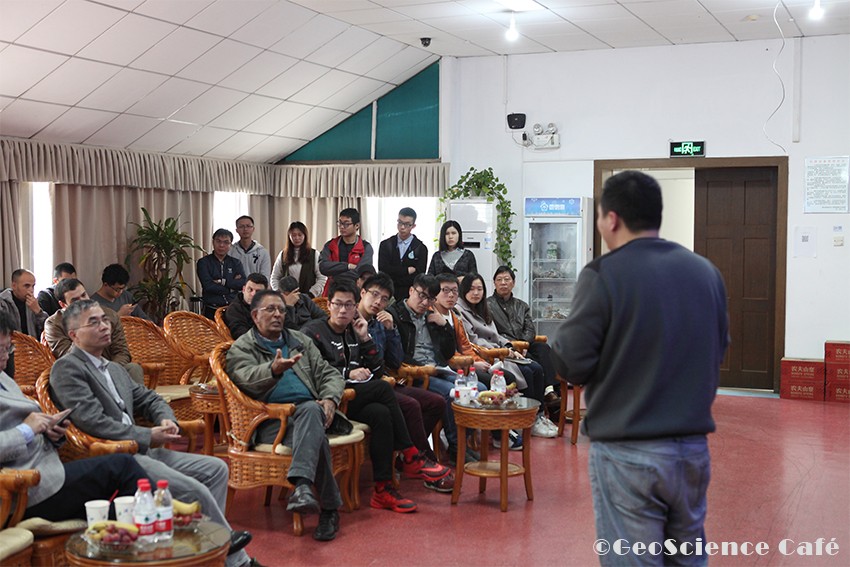
Fig 7. Debate between Pro.Tsehaie Woldai and Pro. Huang Xianfeng
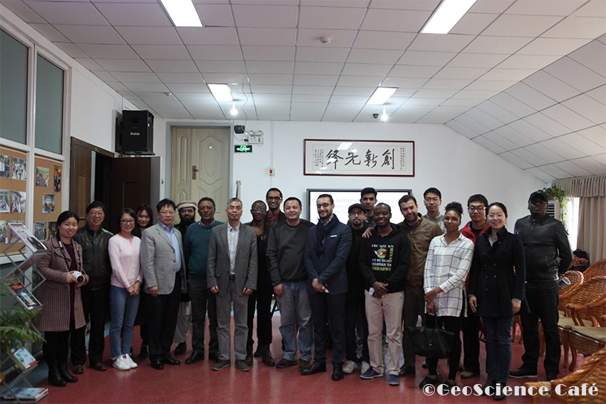
Fig 8. Group photo with professors and leaders of LIESMARS
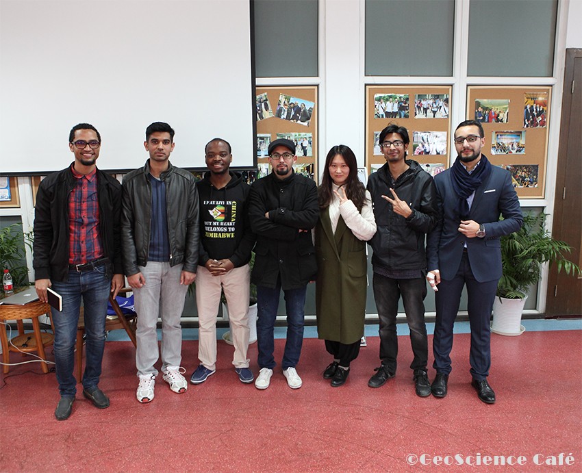
Fig 9. Group photo of this activity organizers
To join us: please scan QR code here:
