[English Geoscience Café] Timo Balz: Very High Precision Radar remote sensing
Text: Prosper Washaya
Photo:李茹(May)
Video: Hashir
>>> About the Speaker:
Timo Balz,Professor at LIESMARS, Wuhan University since 2015. Previously a Research Assistant at the Institute for Photogrammetry, University Stuttgart from 2001-2007. An Assoc. Editor of the IEEE Geoscience and Remote Sensing Letters, Chief Guest Editor of the Remote Sensing Special Issue on SAR Applications, Member of the Editorial Board of GSIS, PI of the Dragon-4 project on ‘Topographic Mapping - Validation’ and Chair of the ISPRS WG I/3 on Microwave Sensing. His research interests include: Radar interferometry, Radar photogrammetry, Radar image simulation and interpretation, and high performance computing.
>>>About this English Geoscience Café session:
Session:No. 3
Venue:Leisure Hall, LIESMARS
Time:2.30 pm- 4.00 pm
Topic:Very High Precision Radar remote sensing
In English Geoscience Café No.4, many people showed up and enjoyed the talk from Prof. Timo Balz on Remote Sensing and application of Synthetic Aperture Radar technology. The audience was composed of professors, Post-docs, Phd, masters and bachelor students.
Professor Timo began by introducing himself and his accomplishments. The introductions set the stage for the topic (Synthetic Aparture Radar, focusing and modes). In this section, Prof. Timo talked about the decomposition of complex SAR images into amplitude and phase and the significance of both decompositions. Then he went on to discuss how Radar signals are transmitted through the atmosphere, the Radar imaging geometry and finally gave an example of an SAR image of Mojave Desert, CA, USA.
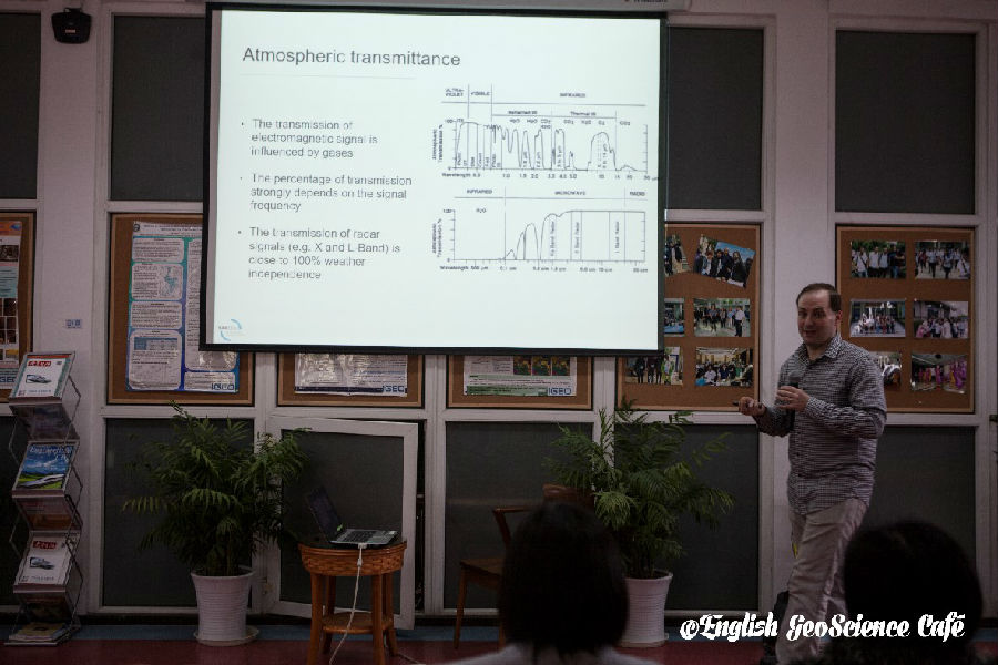
Figure 1. Prof. Timo Balz
For the audience to understand how SAR systems work, Prof.Timo introduced the topic SAR modes. In this section, the speaker explained all the modes used in SAR imaging which are: Strip map mode, Squint mode, Spotlight mode, Scan SAR mode and the TOPS Mode, which is a more advanced mode of SAR image acquisition being used by modern SAR systems (eg. Sentinel-1 mission) according to Prof. Timo.
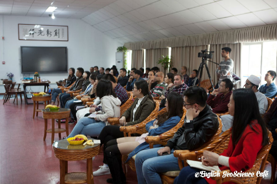
Figure 2. The attentive audience
In the next section, Prof.Timo outlined one of the experiments he made to determine the level of TerraSAR-X geometric precision. In the experiment, Prof.Timo said that they (him and a team of PHD students) used a corner reflector mounted on a building rooftop to identify its position on TerraSAR images. However, as the professor pointed out, the team encountered many challenges during this experiment. Although this experiment was successful in the end, results were not as optimal as what they expected since many corrections (eg. Atmospheric Ionospheric etc.) were not made. As a result, a second experiment was done with corrections based on information from Metadata files.
The next part of the presentation was interesting particularly for foreign researchers in China. In this section, Prof.Timo narrated his experience in Hailutan Valley during a research on TerraSAR-X staring spotlight images for archaeological prospections. The goal of the experiment was to identify ancient Scythian Tombs in the Valley. What was particularly interesting though was how the professor and his team faced challenges in navigating bureaucratic constraints for them to carry out their research in Hailutan Valley. Ultimately, the teammanaged to complete the experiments despite facing other minor challenges.
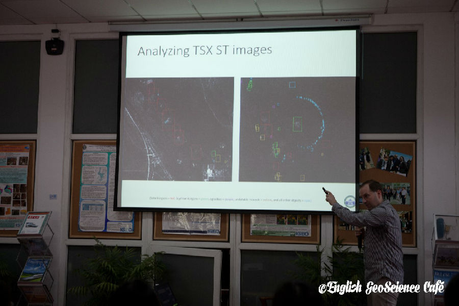

Figure 3. Analyzing TSX ST images
The last section, which many thought was interesting but challenging, was SAR interferometry. In this section Prof.Timo described what the interferometric phase is and how it can be used to create DEMs. The professor also talked about the TanDEM-X mission and the Las Vegas TDM. In addition to this, the professor discussed differential interferometry and persistent scatter interferometry and gave an example of how the latter was applied to the Shanghai subway line detection.
Ultimately, the professor concluded his presentation by mentioning that TerraSAR-X is the most accurate sensor in space, has high absolute precision without GCP, can be used for Surface motion estimation in mm/a and that achievable accuracies of SAR and GPS can be compared.
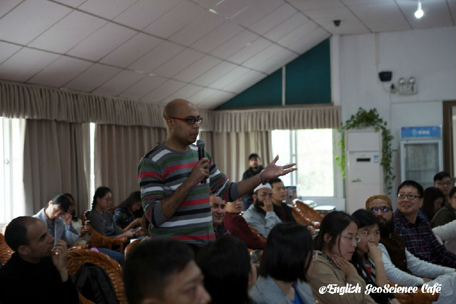
Figure 4. Questions and answers
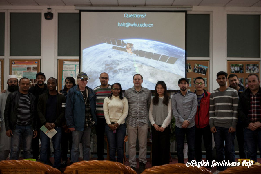
Figure 5. Group photo after activity
Scan the QR code below and join us!

